Surveying & Mapping
We exploit the latest trending technologies to provide innovative, goal oriented solutions through our professional services. We always communicate with our clients for ideas and suggestions on commencing a project. By effectively implementing innovative technology and expertise to offshore, onshore and near shore projects, accomplish high quality outcomes and make sure projects are finished beforehand and within budget.
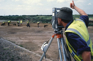
Topographic & Geodetic Surveying – Comprise of installations for Ground Control Point Surveys, Volume Surveys, and National Geodetic Networks.
Land Tenure & Titling – These consist of Boundary Surveys, Mining Tenure, Road and Rail, Right Of Way Surveys, and Surveys for Land Tenure and Titling.
Dimensional Control – Highly skilled surveyors and advanced technology for dimensional control services to incorporate management of structures prior to installation along with complete and complex structures.
3D Laser Scanning – LiDAR – Thorough knowhow for laser scanning techniques, both, static and mobile.
GeoMonitoring – Merging satellite and ground surveying skills to check ground stability (landslides, subsidence) and large infrastructure shifts.
Pipeline and Construction Support – Detailed Survey, Route and Site Evaluation, Data Management, as-built and Construction Support.